Purpose
Role: Unreal 3D Modeling Intern
I was an intern for a research project with the Qualcomm Institute (QI) called the Cognitive Cities, which aimed to develop an urban planning tool with Unreal Engine that would create and simulate digital versions of any city. The application was an real-time integration with Google Maps and Cesium for actual geo-location. With this tool, we envisioned everyone, from non-technologists to real estate developers and urban planners, to use the Cognitive Cities to model and visualize how to improve their towns.
As part of my internship, I was tasked with creating my own project that utilized Unreal Engine 5. I chose to improve energy costs and make the case for solar panels by simulating the intensity of sunlight on UCSD's main campus.
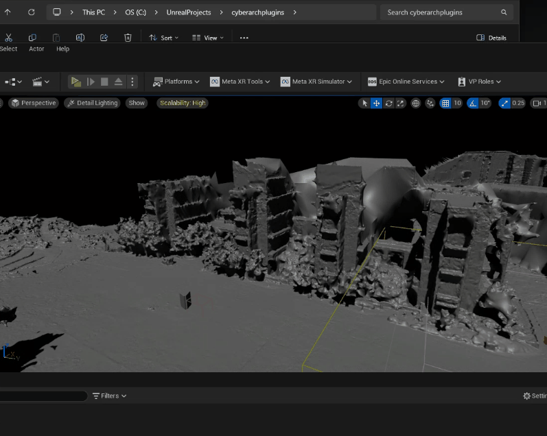
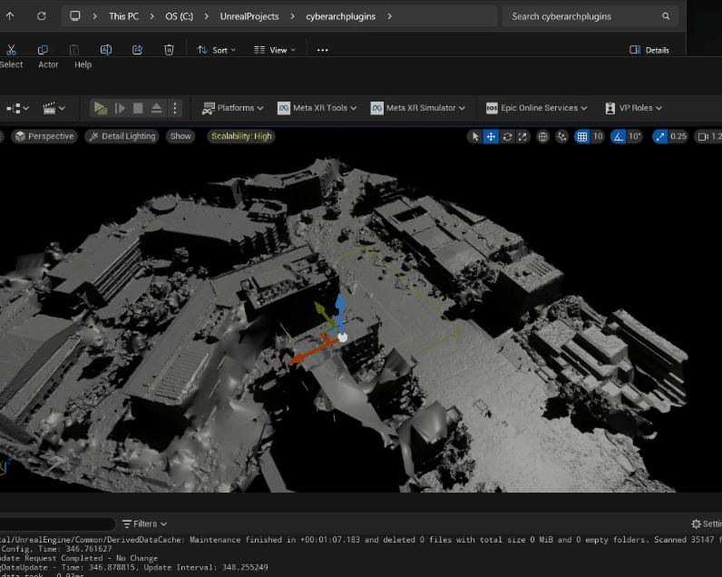
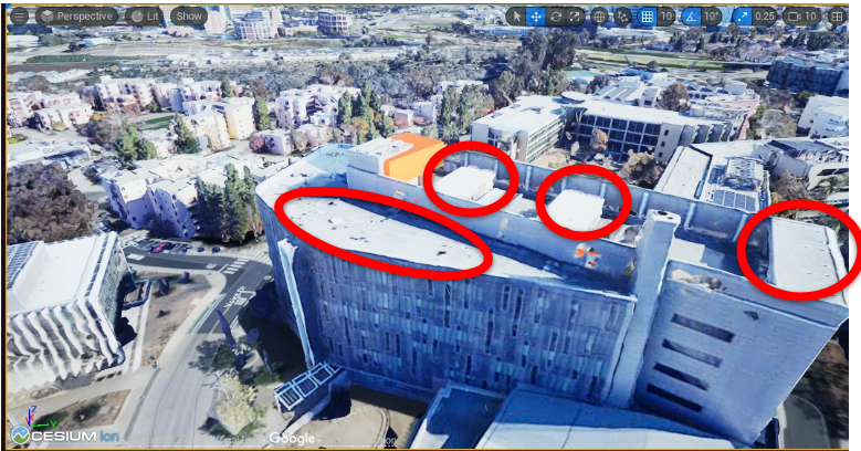
First, because the UCSD campus is humongous, I searched for which sections used the most energy. Thankfully, I found a publically accessible database and found the top 5 places at UCSD that used the most electricity, specifically (there was no energy category). I decided to focus on Jacobs Hall and the Warren Mall area because the Cognitive Cities team already had scans of that area of UCSD. I could get right to work.
Accessibility
In addition, I was also tasked with testing Unreal's current modeling controls and think of ways to make replicating and modeling buildings easy and accessible. These ideas would be implemented in Cognitive Cities.
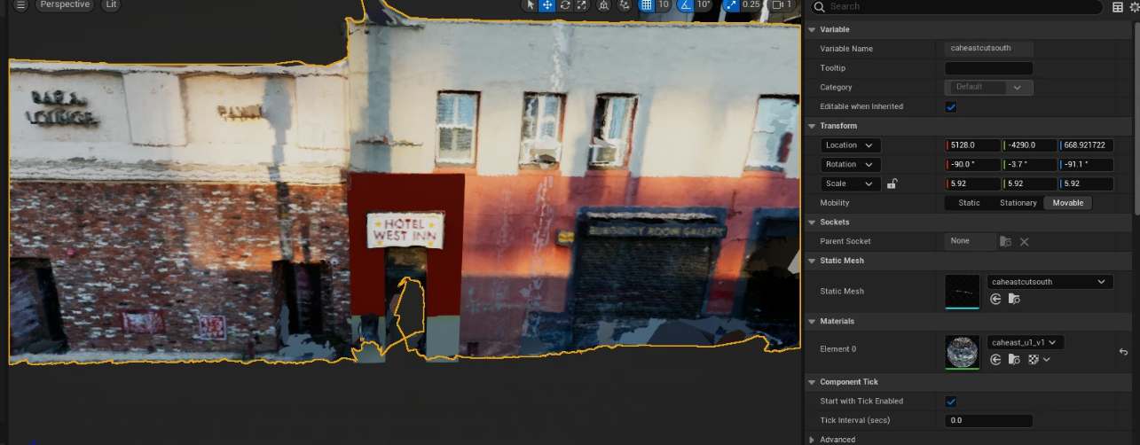
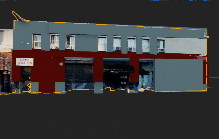
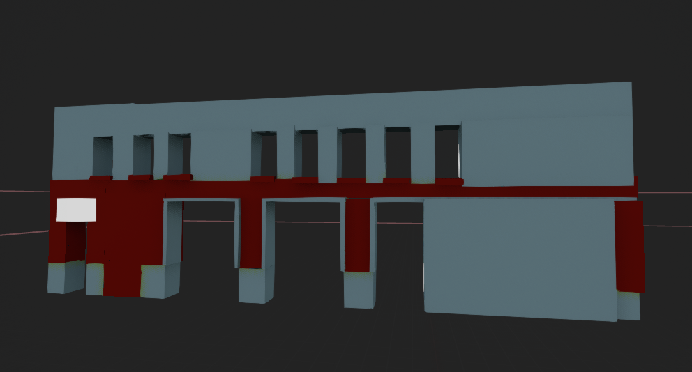
I mostly struggled with scaling, positioning, aligning blocks together and matching existing repository materials and the hotel's colors (in lieu of not having the building's material skin). It was an extremely tedious process. Therefore, I shared some of my ideas with the Cognitive Cities team for potential Cognitive Cities plugins:
- A snapping tool for each of the three axises
- Snapping to other blocks
- Easy way to group blocks
- Ability to stretch shapes in one direction (like in 2D)
- Right click on a block and a selection bar appears with color, texture, material options
- Return to portfolio site